Introducing City Mapper and Revisiting Leaflet Plugins
Devlog: 2026-11
November began with a new project: I made leaflet-city-mapper public on the 3rd, with 52 commits authored that day. I published v0.0.1 right away and kept iterating, ending up at v0.0.8 a week later. Along the way I starred a few WebGPU and Rust-to-WASM projects, such as wgpu and wasm-bindgen.
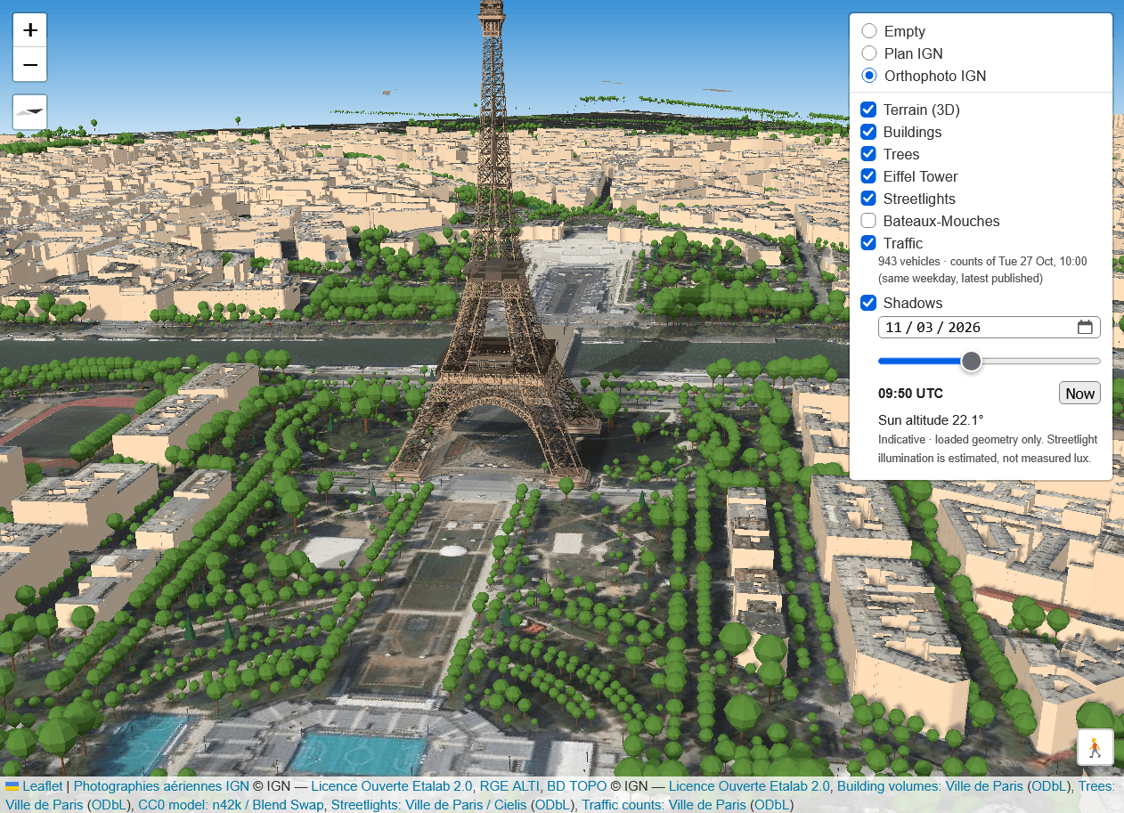
A current illustration of leaflet-city-mapper.
In parallel I worked on leaflet-rotate: a fix for maxBounds handling, a fix for panInside after resetting bearing to 0, and a pull request adding support for Leaflet v2.0.0-beta.3. I also published v0.5.3 and v0.5.4, and closed an issue about marker interactions.
From the 11th to the 14th I went through many of my other Leaflet plugins, including elevation, pegman, pointable, kmz and trails, and shipped pointable v0.2.0 and v0.2.1. I closed a locale-dependent number formatting issue in leaflet-elevation. I also reviewed two g3w-client pull requests. On the 14th I opened a pull request to add a bunch of my plugins to the Leaflet plugin list, and a discussion about bringing a WebGPU 3D engine to Leaflet.